Share the mission as it changes.
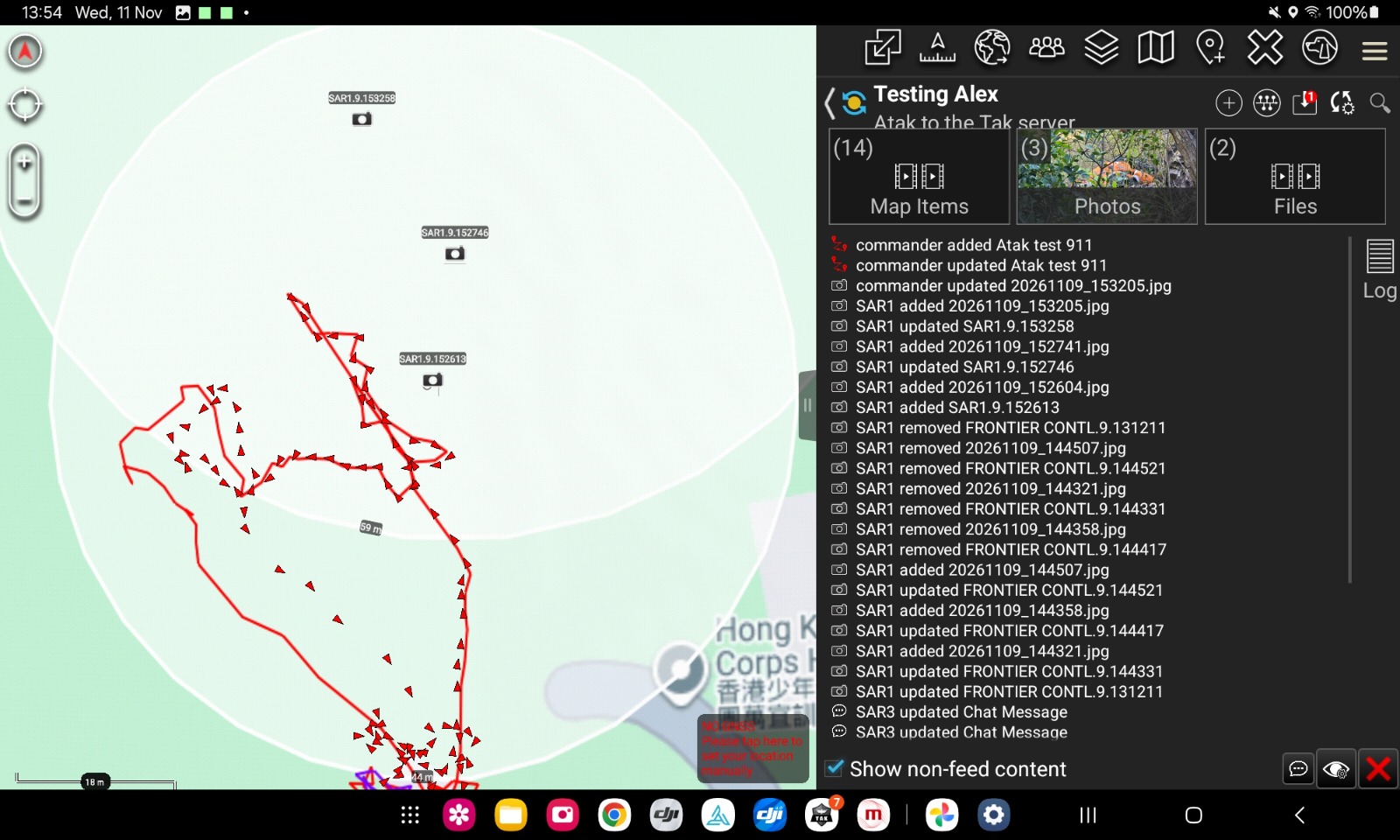
Share markers, photos, and routes. The activity log records who added or updated an item, and when.
 ATOM
ATOM connects the drone, the mission, the walking track, and live aircraft in the ATAK map your team already knows.
Explore the mission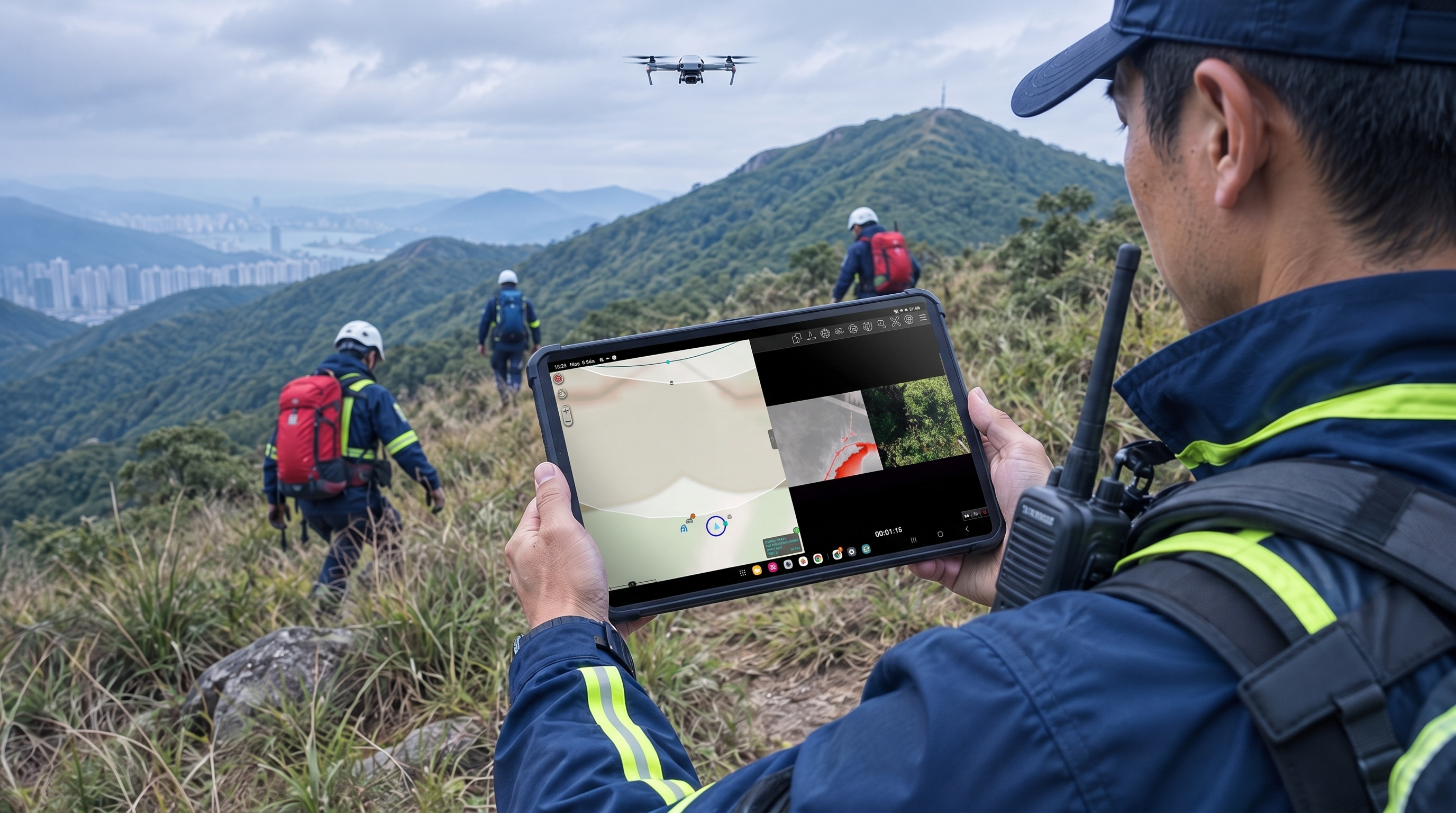
From first signal to final track, ATOM keeps people, aircraft, and evidence connected inside ATAK.
Share markers, photos, and routes. The activity log records who added or updated an item, and when.
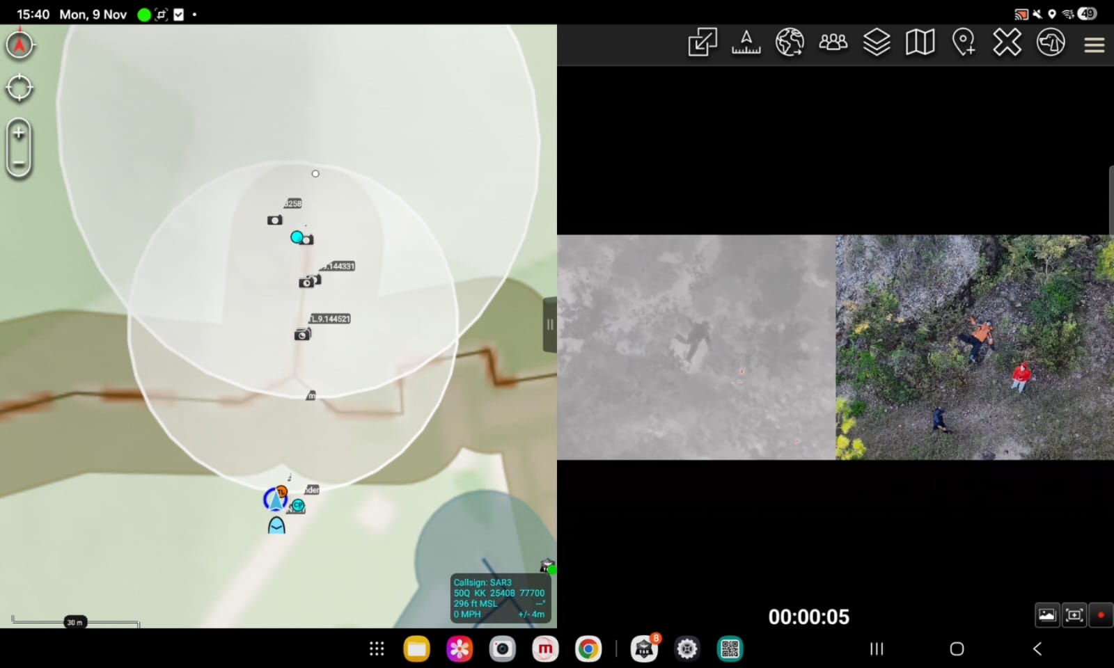
See the drone position and its live video on the ATAK map, so the team can act on the same overhead view.
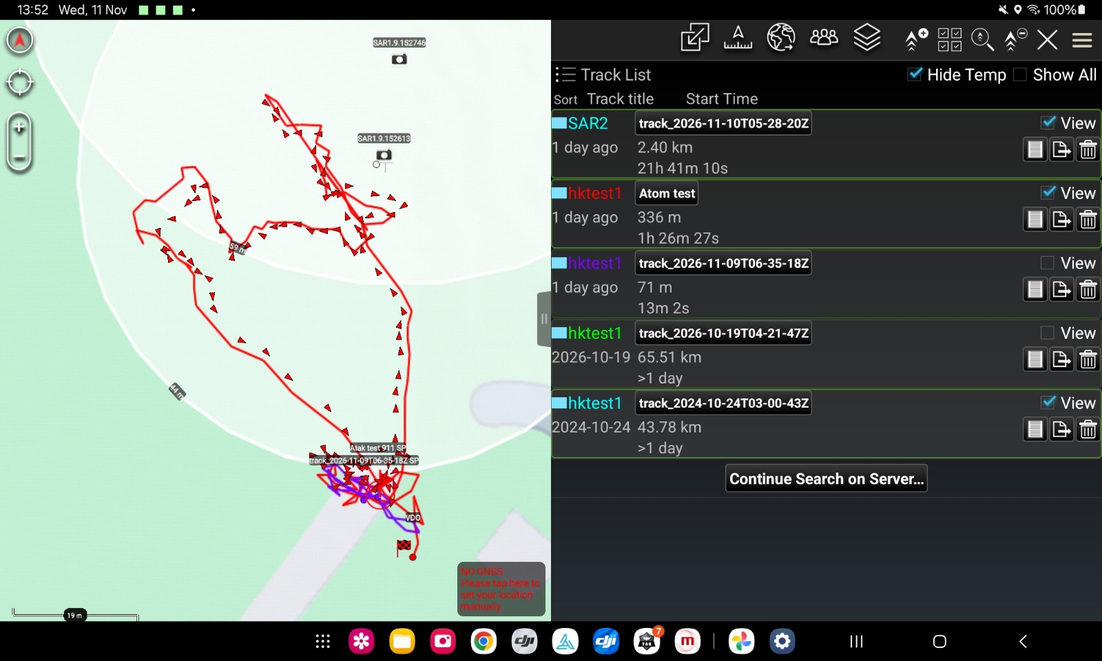
Record a walking path, then send it to the mission. The map shows the line and total time. GPX or CSV keeps the time of each point.
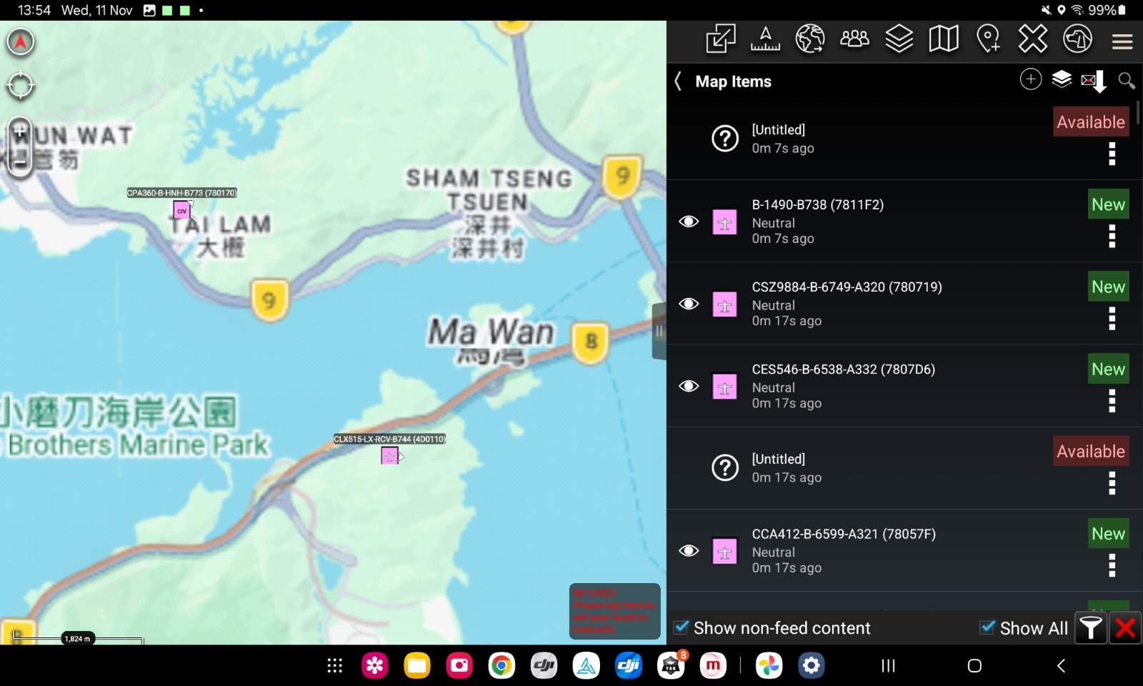
Live AIRPLANE and HELICOPTER traffic on the same map, giving the team a wider operational picture.
See how ATOM connects the drone, the mission, the walking track, and live aircraft.